
BinacoBinaco
Mail to us
+971 2872 8014
8am - 5pm
Abu Dhabi , UAE

Agriculture & Precision Farming

Overview

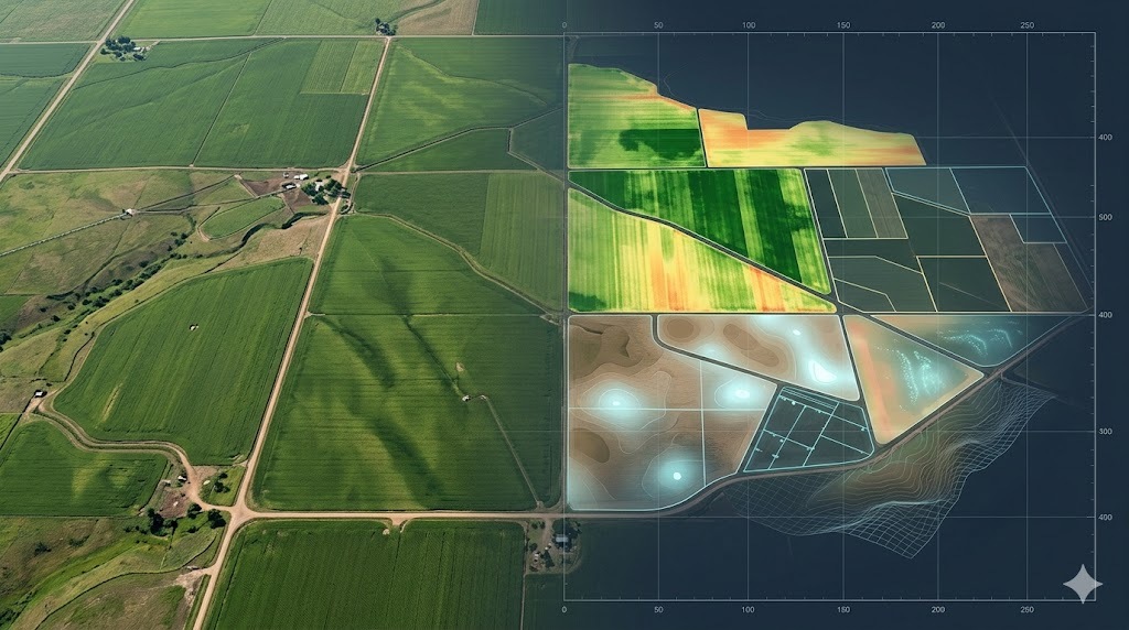
Agriculture and precision farming using Scan to BIM provides accurate digital models of farmland, terrain, and agricultural infrastructure for improved planning and resource management. By converting scan data into structured models, farmers and agricultural planners can analyze land conditions, optimize irrigation systems, and enhance crop management strategies. This approach supports data-driven decision-making, increases productivity, and ensures efficient use of land and resources through accurate spatial insights.
Key Capabilities

Accurate Scan to BIM solutions for agricultural planning, land analysis, and resource optimization workflows.

Farmland Terrain Modeling

Create accurate digital models of agricultural land and surface conditions.

Scan to BIM Conversion

Transform spatial data into structured models for farming analysis workflows.

Irrigation System Mapping

Capture layouts of irrigation networks for efficient water management planning.

Crop Planning Support

Provide data insights for optimized crop placement and yield improvement.

Land Use Analysis Support

Enable effective planning based on terrain and soil condition data.

Resource Optimization Data

Support efficient use of land, water, and agricultural resources.

work process

Our Working Process

Project Requirement Review

We define agricultural objectives and collect land and planning information.
01

Site Scanning & Data Capture

High-precision scanning captures terrain, fields, and infrastructure data.
02

Point Cloud Processing

Captured data is processed into structured datasets for BIM modeling workflows.
03

Modeling & Final Delivery

Final models and datasets are delivered for planning and agricultural use.
04

Our Deliverables

We provide a complete set of deliverables to support project planning, design, and execution.

Agricultural BIM Models

Accurate digital models representing farmland and agricultural infrastructure.

Point Cloud Data Sets

High-resolution spatial data supporting analysis and planning workflows.

Terrain & Land Models

Detailed surface models for irrigation, grading, and crop planning tasks.

Irrigation Layout Mapping

Structured data of irrigation systems for efficient water management.

Land Use Planning Data

Datasets supporting crop planning and agricultural development strategies.

BIM-Ready Data Files

Structured files compatible with planning and agricultural analysis tools.

Have you Any Question?

It provides accurate land data for planning, irrigation, and crop optimization.
Yes, scanning captures detailed terrain and infrastructure data efficiently.
Yes, it helps design and manage irrigation systems effectively.
Data is provided in BIM-compatible and geospatial formats for analysis.