
Overview
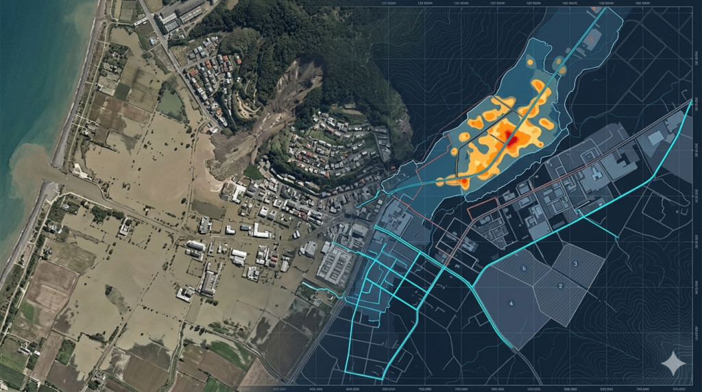
Aerial mapping provides critical support for disaster management and risk assessment by delivering rapid, high-accuracy spatial data over affected and high-risk areas. Our services assist emergency teams, government agencies, and planners by capturing real-time aerial imagery and terrain information. Using drone-based mapping technology, we enable fast situational awareness, damage evaluation, and risk identification. This supports effective response planning, disaster recovery operations, and long-term risk mitigation strategies to improve resilience and reduce future environmental and infrastructural impacts.
Key Capabilities
Rapid aerial mapping supports disaster response and risk analysis with accurate data for emergency planning, damage assessment, and environmental monitoring.
Identifies structural and environmental damage using fast aerial imagery for assessment.
Maps flood-affected areas to support response planning and risk evaluation.
Defines high-risk zones for disasters using spatial and terrain data analysis.
Provides real-time aerial data to support quick disaster response operations.
Analyzes terrain changes caused by natural disasters for recovery planning.
Monitors post-disaster recovery progress using updated aerial survey data.
Our Working Process
Submit Project Inquiry
Rapid Assessment
Aerial Data Capture
Data Processing & Delivery
Our Deliverables
We deliver precise geospatial outputs to support disaster response, risk evaluation, and recovery planning operations.