
Overview
River and waterway surveying provides accurate integrated mapping of riverbeds, channels, and surrounding land areas for hydrological analysis and water resource management. Our services support engineers, environmental planners, and authorities by delivering precise topographic and bathymetric data. Using advanced survey technologies, we capture detailed flow, depth, and terrain information to create unified waterway models. This enables effective flood risk assessment, navigation planning, river engineering, and sustainable management of inland water systems.
Key Capabilities
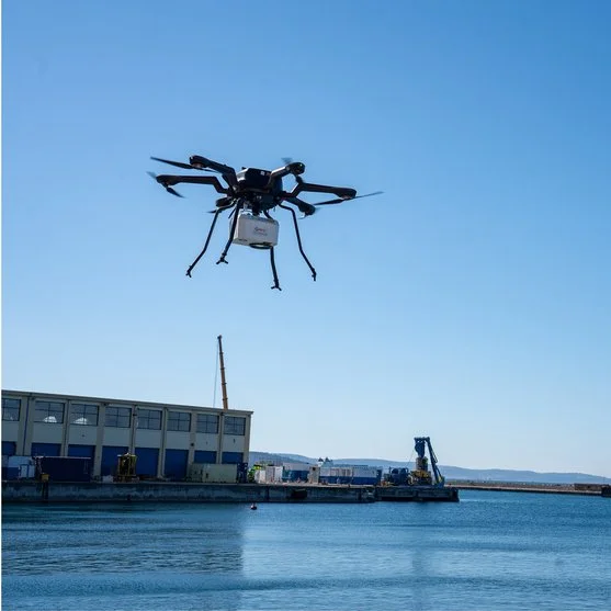
Waterway surveying delivers accurate river and channel data for flow analysis, flood planning, and hydrological engineering applications.
Captures accurate river geometry for analysis, planning, and environmental monitoring.
Maps water channels for flow assessment and hydraulic engineering design.
Provides precise river depth data for navigation and water resource planning.
Analyzes water movement patterns for hydrological studies and management.
Identifies flood-prone zones using terrain and water behavior analysis.
Tracks sediment buildup for river maintenance and environmental assessment.
Our Working Process
Submit Project Inquiry
Hydrological Assessment
Field Data Capture
Processing & Delivery
Our Deliverables
We provide precise river and waterway mapping outputs to support hydrological planning, flood management, and environmental studies.