
Overview
Construction and infrastructure modeling using 3D scanning enables the creation of highly accurate digital representations of buildings, structures, and civil assets. These models support design validation, progress tracking, and renovation planning by providing precise spatial data of existing conditions. By leveraging advanced scanning technologies and point cloud processing, we help engineers, architects, and contractors improve coordination, reduce rework, and ensure construction accuracy throughout all project phases.
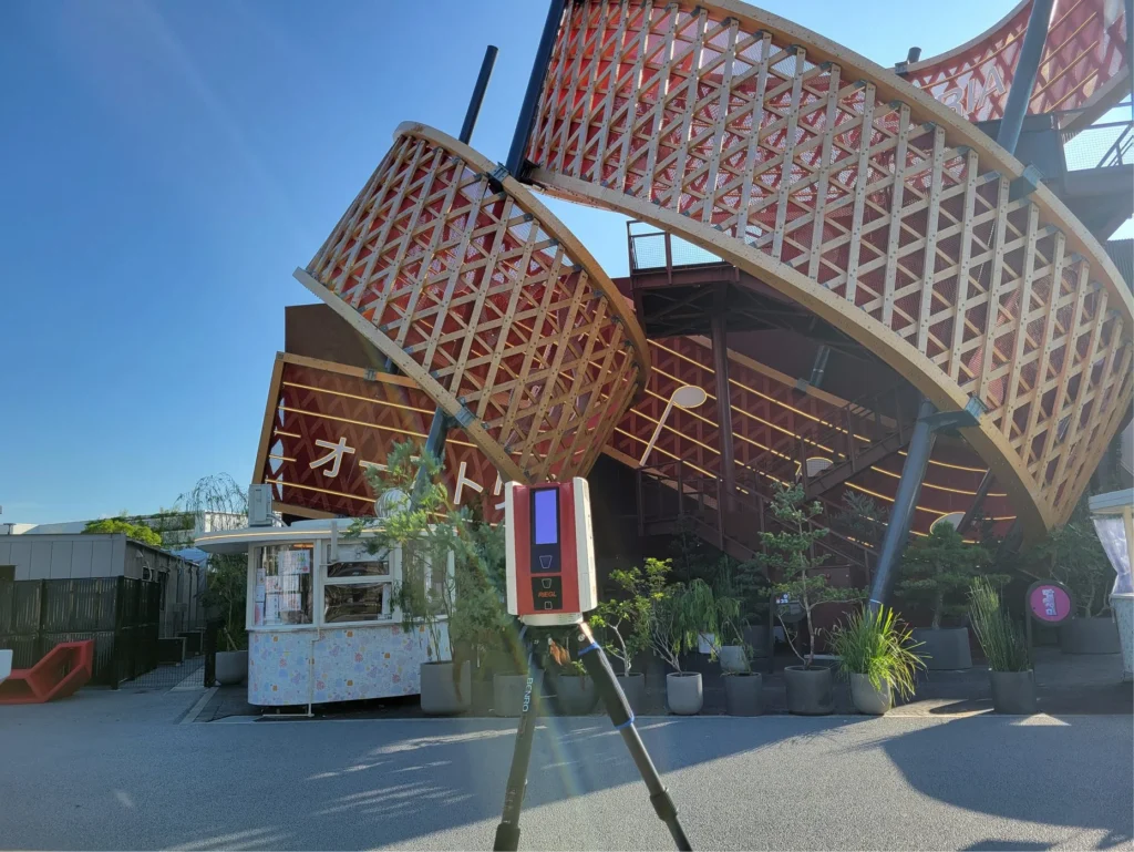
Key Capabilities
Accurate 3D modeling with reliable spatial data for construction and infrastructure workflows.
Generate precise digital records of existing construction conditions.
Create detailed 3D models of buildings and infrastructure elements.
Convert scan data into usable and structured modeling formats.
Compare design models with actual site conditions for accuracy checks.
Identify spatial conflicts between existing and proposed structures.
Provide reliable models for upgrades, retrofitting, and redesign projects.
Our Working Process
Project Requirement Review
3D Scanning & Data Capture
Point Cloud Processing
Model Generation & Delivery
Our Deliverables
We provide a complete set of deliverables to support project planning, design, and execution.