
BinacoBinaco
Mail to us
+971 2872 8014
8am - 5pm
Abu Dhabi , UAE

Disaster & Risk Assessment

Overview

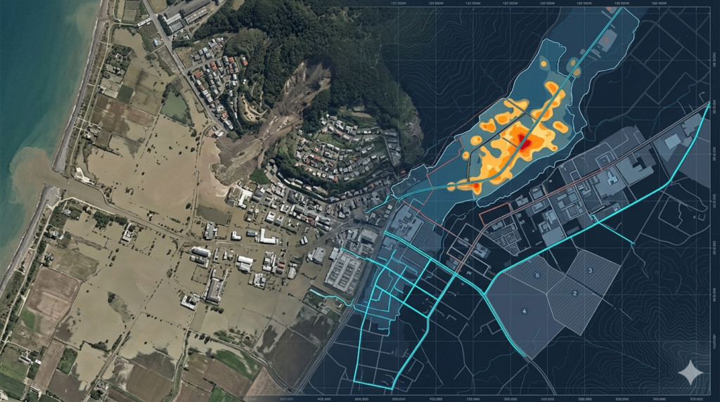
Aerial mapping provides critical support for disaster management and risk assessment by delivering rapid, high-accuracy spatial data over affected and high-risk areas. Our services assist emergency teams, government agencies, and planners by capturing real-time aerial imagery and terrain information. Using drone-based mapping technology, we enable fast situational awareness, damage evaluation, and risk identification. This supports effective response planning, disaster recovery operations, and long-term risk mitigation strategies to improve resilience and reduce future environmental and infrastructural impacts.
Key Capabilities

Rapid aerial mapping supports disaster response and risk analysis with accurate data for emergency planning, damage assessment, and environmental monitoring.

Damage Mapping

Identifies structural and environmental damage using fast aerial imagery for assessment.

Flood Analysis

Maps flood-affected areas to support response planning and risk evaluation.

Risk Zoning

Defines high-risk zones for disasters using spatial and terrain data analysis.

Emergency Mapping

Provides real-time aerial data to support quick disaster response operations.

Terrain Impact

Analyzes terrain changes caused by natural disasters for recovery planning.

Recovery Tracking

Monitors post-disaster recovery progress using updated aerial survey data.

work process

Our Working Process

Submit Project Inquiry

Share disaster or risk area details through our contact form for immediate evaluation and response planning.
01

Rapid Assessment

Our team reviews affected zones and defines the best aerial mapping approach for urgent data collection.
02

Aerial Data Capture

Drone operations are conducted quickly to capture high-resolution imagery of disaster or risk areas.
03

Data Processing & Delivery

Collected data is processed into maps and reports for emergency response and recovery planning.
04

Our Deliverables

We deliver precise geospatial outputs to support disaster response, risk evaluation, and recovery planning operations.

Damage Assessment Maps

High-detail maps showing affected areas to support emergency response and planning.

Risk Zone Maps

Spatial analysis maps identifying high-risk zones for disaster preparedness and mitigation.

Orthomosaic Imagery

Georeferenced aerial images providing accurate ground-level disaster visualization.

3D Impact Models

Three-dimensional models showing terrain and structural changes after disasters.

GIS-Ready Data

Structured datasets compatible with GIS platforms for emergency planning and analysis.

Recovery Progress Reports

Updated reports tracking recovery stages and restoration progress over time.

Have you Any Question?

It provides fast and accurate spatial data to support emergency planning and damage assessment.
Yes, drones can safely survey hazardous zones without risking human life.
We support floods, landslides, storms, and infrastructure failure assessments.
Data is processed rapidly to support time-sensitive emergency response decisions.