
Overview
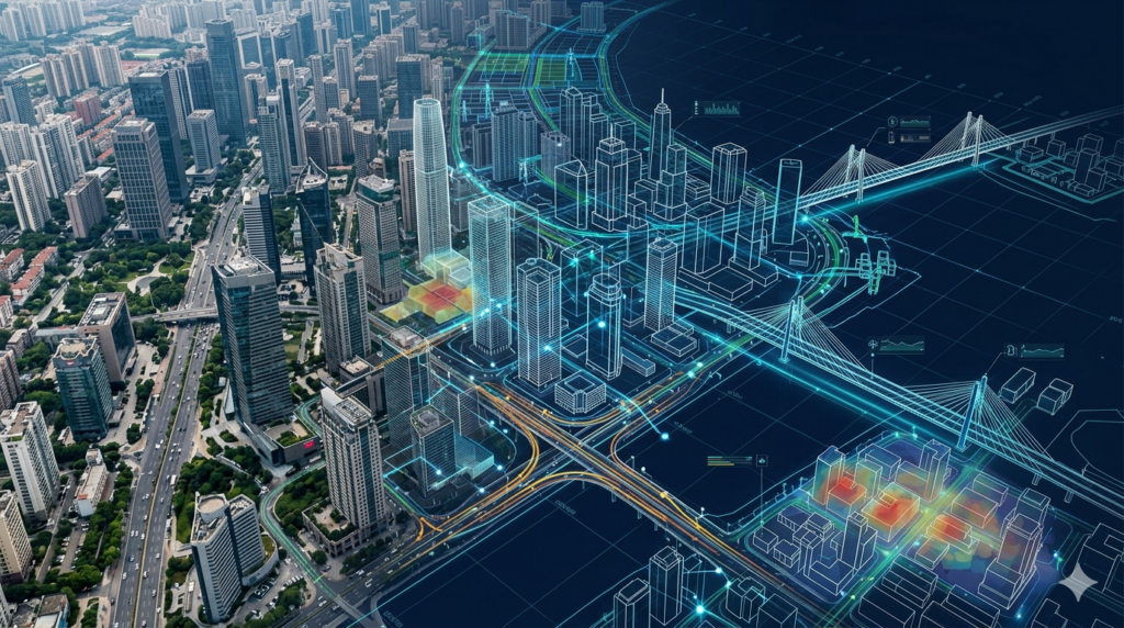
Digital twin technology enables smart city and urban management by creating accurate virtual models of real-world environments for planning, monitoring, and optimization. Our services support governments, planners, and infrastructure managers by delivering real-time spatial insights and integrated city-scale data. Using advanced geospatial modeling and simulation techniques, we replicate urban systems to improve decision-making, resource efficiency, and infrastructure performance. This enables better city planning, traffic optimization, utility management, and sustainable urban development.
Key Capabilities
Digital twin solutions support smart city operations with real-time data modeling for planning, monitoring, and infrastructure optimization.
Creates digital representations of urban environments for planning and analysis.
Maps city infrastructure for monitoring and operational management.
Analyzes traffic flow to improve mobility and reduce congestion issues.
Tracks utilities for efficient management and service optimization.
Supports city development planning using real-time spatial data models.
Identifies urban risks for safer and more resilient city planning decisions.
Our Working Process
Submit Project Inquiry
Urban Data Review
Model Development
Simulation & Delivery
Our Deliverables
We deliver accurate digital twin outputs to support smart city planning, infrastructure management, and urban optimization.