
Overview
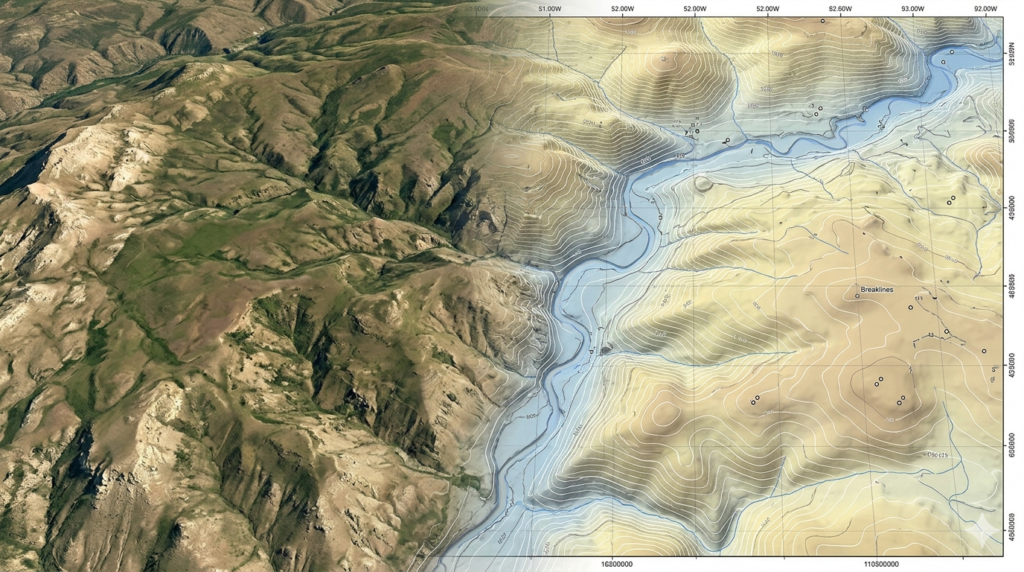
Aerial mapping enables highly accurate topographical surveying by capturing detailed elevation, terrain, and surface data across large and complex areas. Our services support engineers, planners, and developers by providing precise geospatial information for design, analysis, and construction planning. Using drone-based imaging and advanced processing techniques, we generate reliable terrain models and contour data. This ensures efficient site evaluation, accurate earthwork estimation, and improved decision-making for infrastructure development and land planning projects.
Key Capabilities
Aerial topographical surveys deliver precise terrain data for planning, design, and construction with reliable elevation and surface analysis.
Captures accurate surface details for planning and engineering design applications.
Provides precise height information for land analysis and construction planning.
Creates contour lines for better understanding of site terrain and slope.
Supports cut-and-fill estimation for construction and infrastructure projects.
Generates digital site models for planning and engineering visualization.
Analyzes terrain slopes for safe and optimized project design decisions.
Our Working Process
Submit Project Inquiry
Site Evaluation
Drone Survey
Data Processing
Our Deliverables
We deliver accurate topographical outputs to support engineering design, construction planning, and land development.