
BinacoBinaco
Mail to us
+971 2872 8014
8am - 5pm
Abu Dhabi , UAE

Volume Calculation

Overview

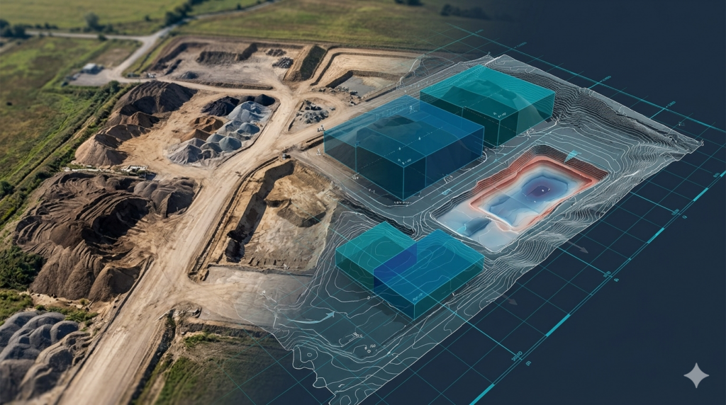
Aerial mapping enables highly accurate volume calculation for construction, mining, and earthwork projects by capturing precise terrain and elevation data. Our services support engineers, contractors, and project managers by providing reliable measurements of stockpiles, excavation areas, and material quantities. Using drone-based surveys and advanced processing techniques, we generate accurate 3D surface models and spatial datasets. This ensures efficient material estimation, cost control, and improved planning for earthworks, site grading, and large-scale infrastructure development projects.
Key Capabilities

Aerial mapping delivers precise volume measurement solutions for stockpiles, excavation, and earthwork planning with reliable geospatial accuracy.

Stockpile Volume

Measures material stockpiles accurately for inventory and site management control.

Cut Fill Analysis

Calculates earthwork balance for excavation and site grading optimization.

Excavation Tracking

Monitors excavation progress using repeated aerial data capture and comparison.

Site Quantity Survey

Provides accurate quantity estimates for construction materials and site works.

3D Surface Modeling

Creates terrain models for precise volume and spatial analysis applications.

Change Measurement

Detects volume changes over time for monitoring construction progress.

work process

Our Working Process

Submit Project Inquiry

Share project details through our contact form so volume requirements and site scope can be evaluated.
01

Site Assessment

Our team reviews terrain conditions and defines the best aerial survey approach for accurate volume calculation.
02

Drone Data Capture

High-resolution aerial data is collected to generate accurate 3D surface models of the site.
03

Volume Processing

Captured data is processed to calculate precise volumes, cut-fill values, and material quantities.
04

Our Deliverables

We provide accurate volume analysis outputs to support construction planning, earthwork estimation, and material management.

Stockpile Reports

Accurate measurement reports showing material stockpile volumes for site management.

Cut-Fill Maps

Visual representations of excavation and fill requirements for earthwork planning.

3D Terrain Models

Detailed surface models used for precise volume and spatial calculations.

Volume Calculation Sheets

Structured data outputs showing exact material quantities for project use.

Orthomosaic Maps

High-resolution georeferenced imagery for site verification and analysis.

GIS/CAD Data Files

Ready-to-use geospatial files for engineering and construction workflows.

Have you Any Question?

It uses 3D terrain models generated from drone data to measure material volumes accurately.
Yes, it provides precise stockpile volume estimation for inventory and site control.
Yes, it is widely used for cut-fill analysis and earthwork planning.
It delivers high-precision results suitable for engineering and construction applications.