
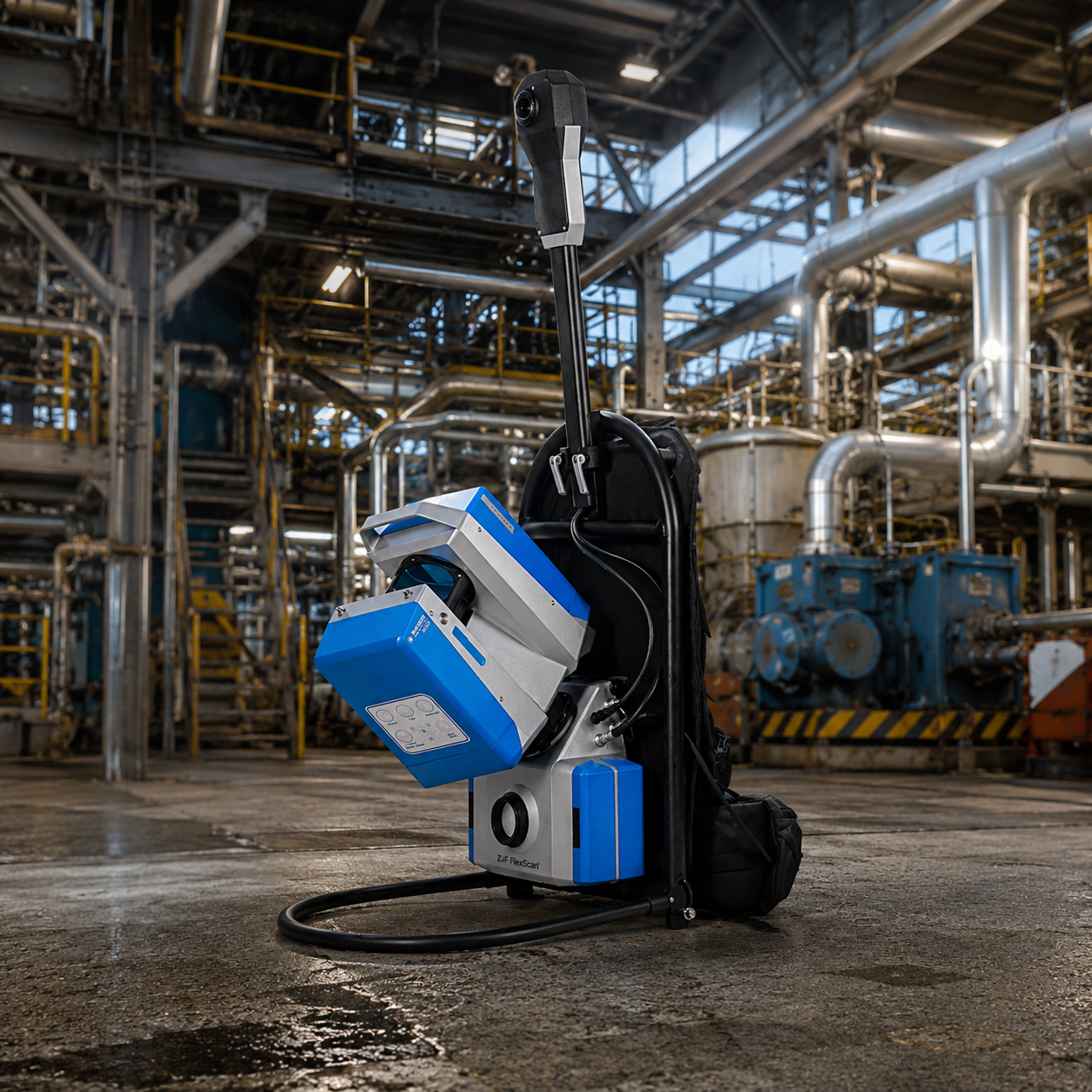
Capture Accurate 3D Layouts of Facilities
Industrial Plant Scanning
Produces detailed 3D scans of industrial plants and machinery for maintenance, retrofitting, and engineering analysis.
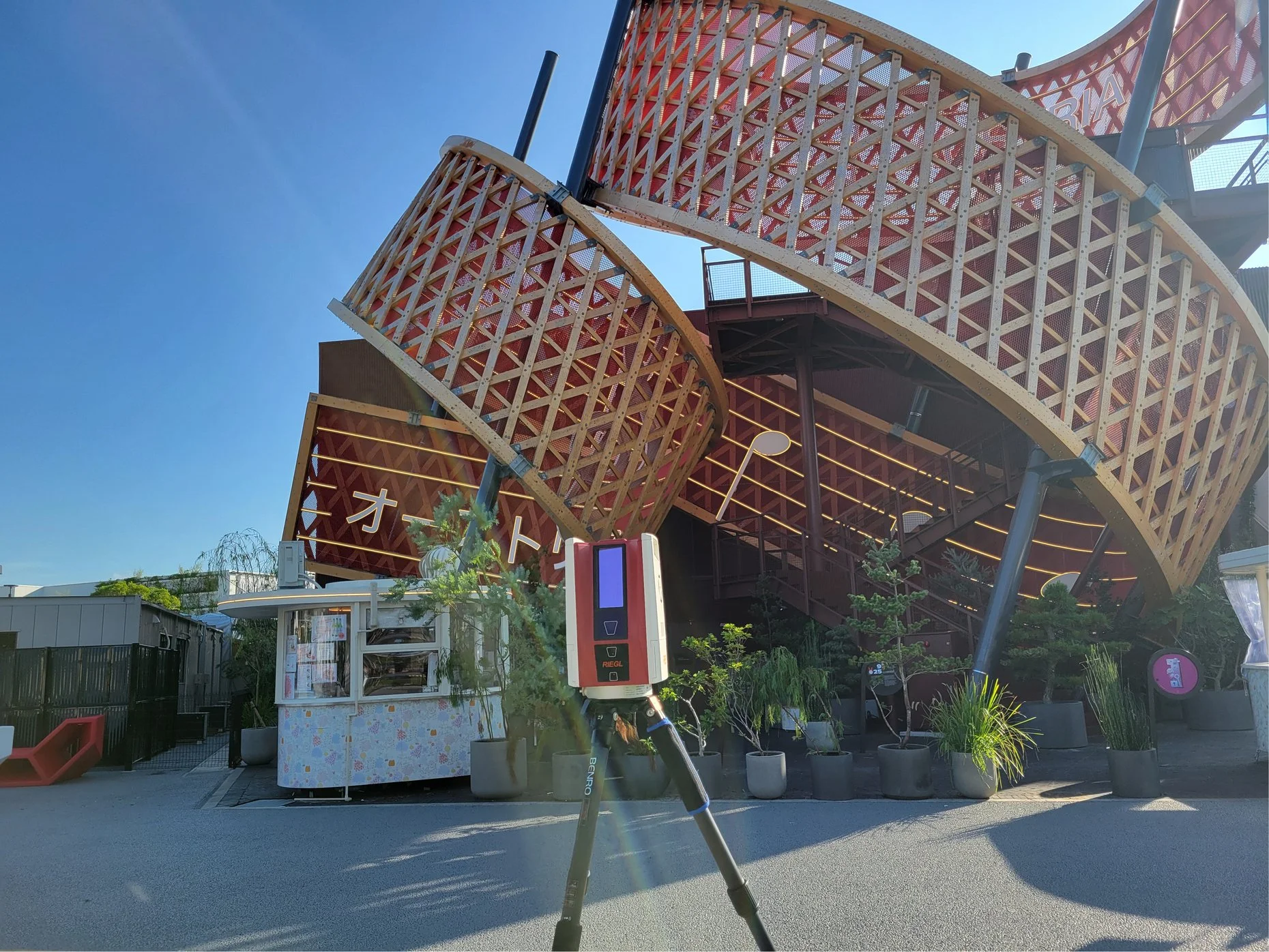
Accurate 3D Models for Complex Projects
Construction & Infrastructure Modeling
Creates precise 3D models of construction sites and infrastructure to support planning, design, and progress monitoring.
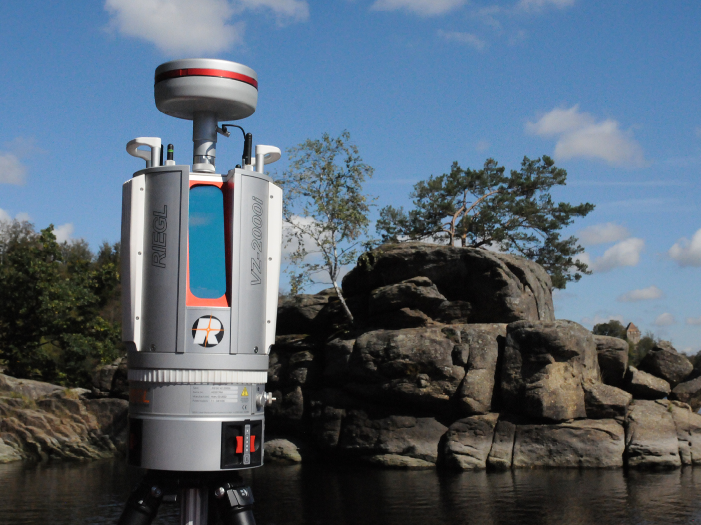
Document and Preserve Historical Sites
Heritage & Cultural Preservation
Captures historical structures and monuments in high detail to create digital archives for preservation and restoration projects.
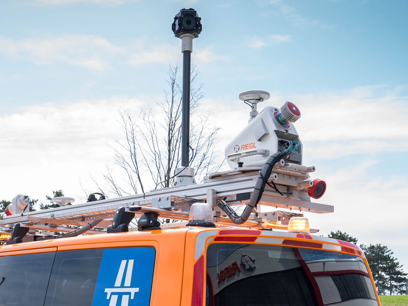
Convert Physical Spaces into Digital BIM Models
City Modeling & Digital Twin
Scans buildings and facilities to create accurate BIM-ready 3D models for design, renovation, and facility management.
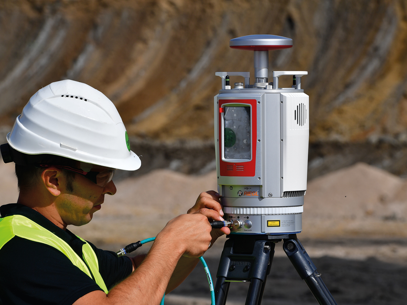
High-Precision Surface and Terrain Mapping
Mining & Topography Scanning
Generates detailed 3D scans of mines and terrain for volumetric analysis, safety planning, and operational optimization.

Capture Existing Objects for Redesign and Production
Reverse Engineering & Product Design
Scans objects and components to produce digital 3D models for reverse engineering, prototyping, and manufacturing workflows.